WEATHER ALERT
ENVIRONMENT CANADA
*************************
Snow squall watch in effect for:
- Innisfil - New Tecumseth - Angus
Snow squalls possible Saturday afternoon into Saturday night.
Snow squalls are forecast to develop Saturday afternoon and are expected to move over portions of the area late Saturday afternoon into Saturday night.
Local snowfall accumulations of 10 to 15 cm will be possible by early Sunday morning.
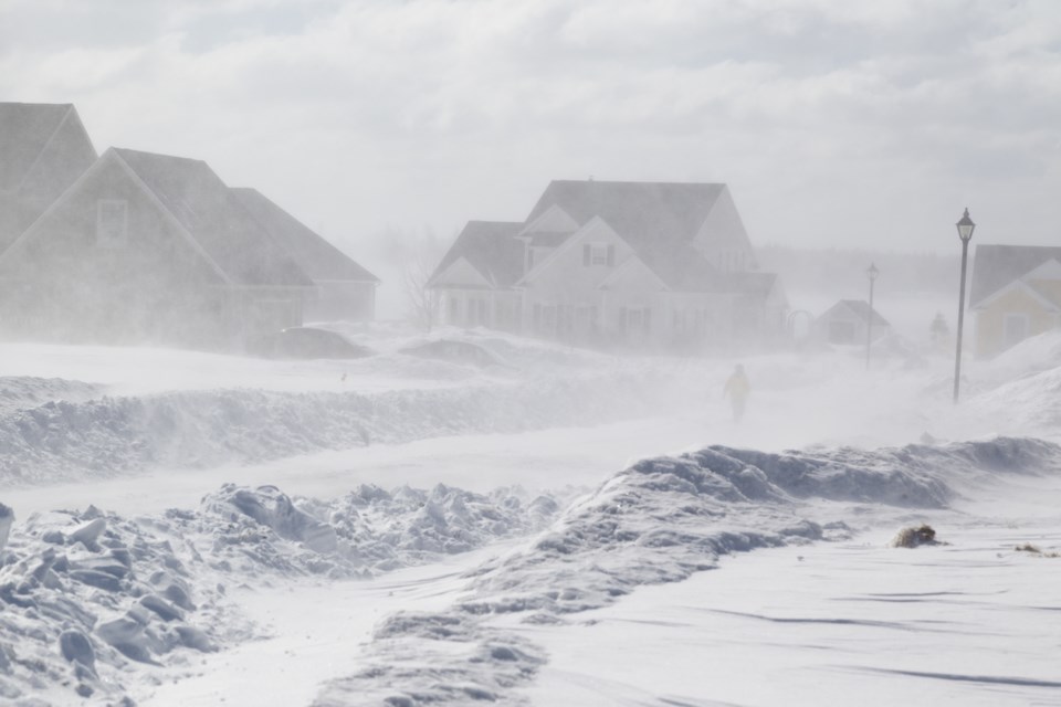
The heavy snow will combine with strong northwesterly winds resulting in reduced visibilities in heavy snow and blowing snow at times.
Travel will likely become difficult and motorists are advised to exercise caution.
These snow squalls are forecast to weaken by early Sunday morning.
For road conditions and other travel information from the Ministry of Transportation, visit https://www.ontario.ca/511, or call 5-1-1.
Snow squalls cause weather conditions to vary considerably; changes from clear skies to heavy snow within just a few kilometres are common. Travel may be hazardous due to sudden changes in the weather. Visibility may be significantly and suddenly reduced to near zero.
Snow squall watches are issued when conditions are favourable for the formation of bands of snow that could produce intense accumulating snow or near zero visibilities.
Please continue to monitor alerts and forecasts issued by Environment Canada. To report severe weather, send an email to [email protected] or tweet reports using #ONStorm.
*************************


