WEATHER ALERT
ENVIRONMENT CANADA
*************************
Weather advisory in effect for:
- Innisfil - New Tecumseth - Angus
- Orangeville - Grand Valley - Southern Dufferin County
- Shelburne - Mansfield - Northern Dufferin County
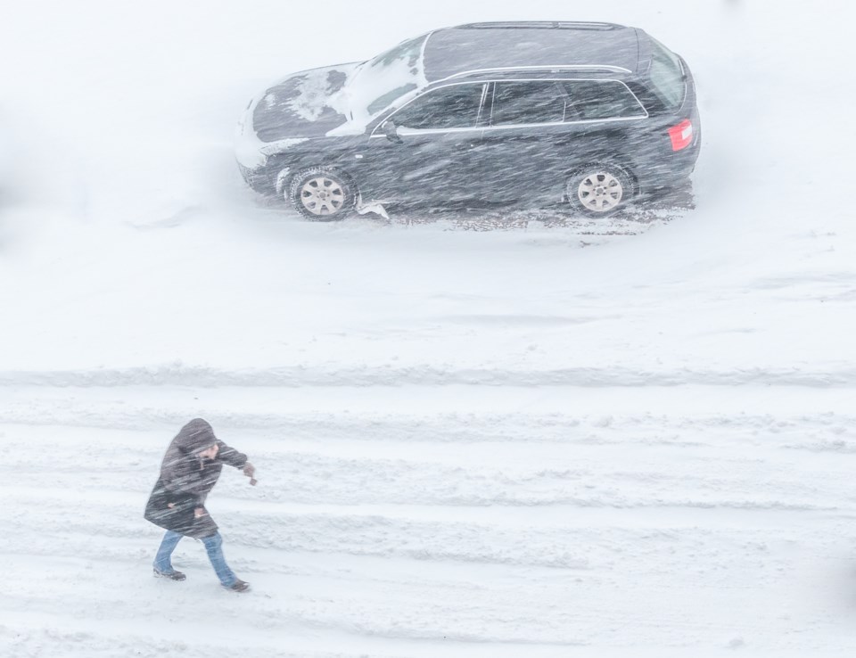
Winter weather travel advisory in effect.
Multi-day snowfall event tonight through Thursday morning.
Hazards:
Total snowfall accumulations of 10 to 20 cm by Thursday morning.
Reduced visibilities due to heavy snow.
Timing:
Tonight through Thursday morning.
Discussion:
Freezing rain or freezing drizzle tonight mixed with snow will transition to all snow by Wednesday morning. Regions in the vicinity of Georgian Bay may see rain mixed with snow tonight instead of freezing rain. Snow is expected to persist Wednesday and Wednesday night, tapering by Thursday morning. There is still some uncertainty regarding the track of the low pressure system and therefore the total snowfall amounts. This could also affect the potential for some additional snowfall on Thursday.
Motorists should expect hazardous winter driving conditions and adjust travel plans accordingly. Poor weather conditions may contribute to transportation delays. If visibility is reduced while driving, turn on your lights and maintain a safe following distance. Surfaces such as highways, roads, walkways and parking lots may become difficult to navigate due to accumulating snow.
For road conditions and other traveller information from the Ministry of Transportation, visit https://www.ontario.ca/511, https://www.twitter.com/511Ontario, or call 5-1-1.
Please continue to monitor alerts and forecasts issued by Environment Canada. To report severe weather, send an email to [email protected] or tweet reports using #ONStorm.
*************************


