NEWS RELEASE
ENVIRONMENT CANADA
***************************
Special weather statement in effect for:
- Innisfil - New Tecumseth - Angus
- Orangeville - Grand Valley - Southern Dufferin County
- Shelburne - Mansfield - Northern Dufferin County
Significant winter storm expected late this week into the holiday weekend.
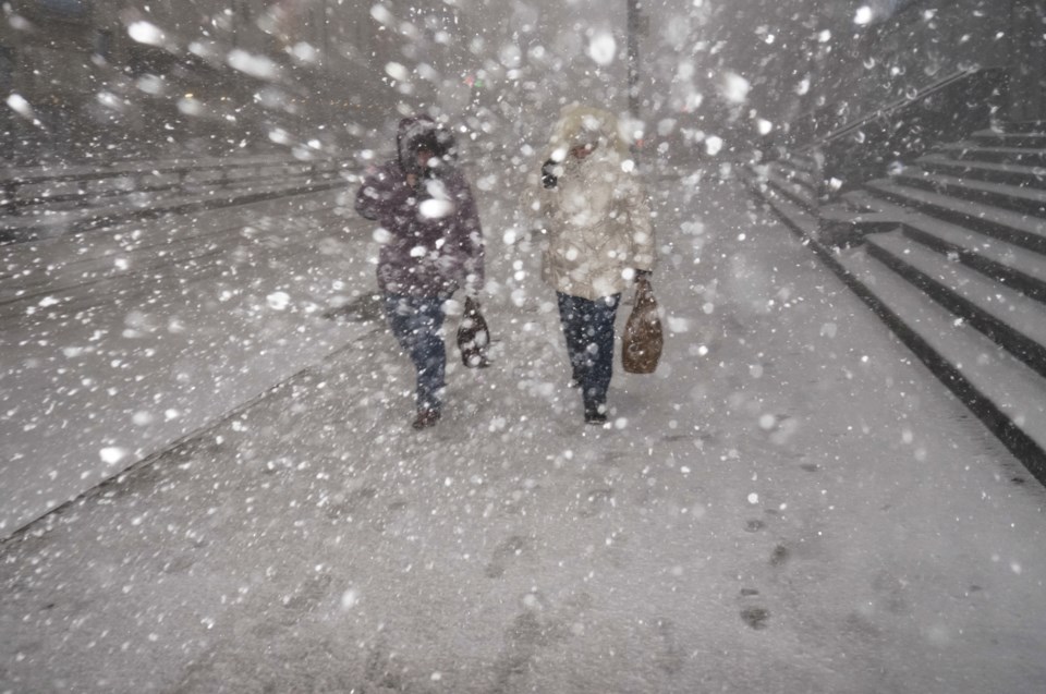
Precipitation may begin as rain or snow late Thursday before possibly transitioning to rain in many areas early Friday. Temperatures are expected to plummet on Friday, leading to a potential flash freeze for locations that receive rainfall. Rapidly falling temperatures will be accompanied by strong to potentially damaging winds along with snow that may be heavy at times. Blizzard conditions are possible late Friday into the weekend for areas downwind of Lake Huron and Georgian Bay.
A multi-day lake effect snow event is expected into the weekend in the wake of the system for locations east of the Great Lakes.
While there is high confidence in a high impact winter storm, the details regarding wind speeds, precipitation types and amounts remain highly uncertain at this time. Please monitor your local forecast and the latest alerts for your area.
Consider altering plans through the holiday weekend as travel conditions may become dangerous. Extensive utility outages are possible. Temperatures Friday night into the weekend will likely be the coldest of the season to date.
Public Safety Canada encourages everyone to make an emergency plan and get an emergency kit with drinking water, food, medicine, a first-aid kit and a flashlight. For information on emergency plans and kits, visit this website.
Please continue to monitor alerts and forecasts issued by Environment Canada. To report severe weather, send an email to [email protected] or tweet reports using #ONStorm.
***************************


